

Central Trail
City of Richardson
The City of Richardson has one of the most comprehensive trail systems of any city in the entire Dallas-Ft. Worth metropolitan area with more than forty miles of trails and dedicated bike lanes.
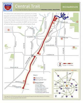
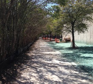
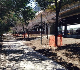
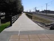
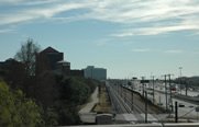
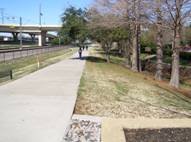
The Central Trail, with a length of 4.2 miles, is the one of the major components of the City's trail system. Utilizing right-of-way graciously provided by DART, it connects with all three of the City's DART light rail stations as well as with the Telecom Corridor which is one of the largest employment centers in North Texas.
 |  |
When combined with the City's Spring Creek Trail, it is possible to travel from the City's northern boundary with Plano to its southern boundary with Dallas without having to use a car.
The trail begins at Glenville, parallels the DART rail line just east of Central Expressway (hence, its name "Central"), and ends at Buckingham Road.
 |  |  |  |
-
You must be on the network to see these links.
© 2024. Dallas County. All rights reserved.