

Roy Orr Trail
City of DeSoto
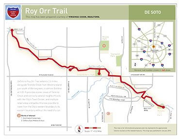
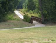
DeSoto's Roy Orr Trail extends 3.6 miles alongside Tenmile Creek from Westmoreland just south of Wintergreen to almost Beltline at I-35. Such a path provides scenic views of Tenmile Creek, connects several neigh-borhoods with the City's Town Center and with multiple retail areas and parks, and it almost makes it possible to travel from the City's western boundary to its eastern boundary without having to use a car.
The trail originally consisted of two separate segments (from Westmoreland to the Town Center and from Polk to Murphy Hills Park) that had been built by the City. These two segments were then connected together in 2004 by a project that was funded by both the City and the County.
 |  |  |
-
You must be on the network to see these links.
© 2024. Dallas County. All rights reserved.