

Spring Creek Trail
City of Richardson
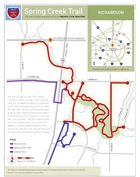
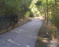
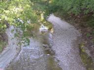
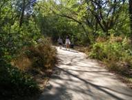
Richardson's Spring Creek Trail contains 4.5 miles of heavily-wooded, winding, looping trail. Although immediately located at the southeast corner of Central Expressway and Renner Road, one forgets how close they are to the freeway because of the trees and the impressive views of Spring Creek.
The City's Renner Trail connects to this trail from the west, and a number of the City's eastern trails--Central and Owens--originate from it as well. In addition, a recently completed extension now carries the trail to the north where it intersects with Alma Drive and the George Bush Freeway.
Paved parking is available at Central/Renner Road, and numerous park benches are also scattered along the trail.
 |  |  |
-
You must be on the network to see these links.
© 2026. Dallas County. All rights reserved.